September 30, 2026
A tower on a hill with no door. A sham ruin closing the view down an avenue. An obelisk in a field, its inscription weathered to nothing. Follies are often the most mysterious buildings in the landscape, largely because nobody thought to write down why they were put there. The good news is that dating one rarely depends on a single lucky document. It comes from lining up four or five ordinary sources until they agree on a date range. Here is how to work through them in the right order.
Start with the fabric, not the archive
Before you open a single document, look hard at the building itself. Photograph it from several angles, then note the materials and how they are used: brick bond and brick size, coursing in the stone, rubble versus ashlar, render or stucco, cast-iron window frames, roof covering. Look for blocked openings, ragged joints and reused medieval stone, which often reveal a change of plan mid-build or a structure adapted from something older.
A folly built as an eyecatcher gives its best face to the house or the approach road; the rear may be plain, even windowless. Style narrows the field but rarely dates a building on its own — a gothic tower could belong to the 1760s or the 1840s — yet it tells you what the owner wanted the building to say. If the site is on private land, ask permission before you climb walls or cross fields, and steer clear of unstable masonry.
Maps first: they give you a date range
Maps are the fastest way to bracket a construction date. Work backwards through the sequence for your parish:
- Estate maps and surveys, often 17th to early 19th century, drawn for a single landowner and sometimes showing ornamental buildings long before the Ordnance Survey arrives.
- Enclosure awards and maps, which record field boundaries and allotments at the moment of enclosure.
- Tithe maps and apportionments, mostly produced in England and Wales between the late 1830s and the 1850s, with a schedule naming every plot and occupier.
- Ordnance Survey: the first six-inch sheets, then the large-scale 25-inch County Series, revised again and again into the 20th century.
- Later revisions and aerial photographs, which show decay, demolition or replanting as well as the building itself.
Originals sit in county record offices, local studies libraries and The National Archives. Many Ordnance Survey sheets and estate plans are free to browse online through national map collections. If a folly appears on a map of 1841 and is absent from one of 1815, you have your window. Treat it with care, though: mapmakers copied from earlier surveys, so a building can linger on paper after it has fallen down, or appear late because nobody bothered to draw it.
Estate records: the owner's paper trail
If the folly stood on an estate, the estate archive is the richest seam you can dig. Look for building and repair accounts, tradesmen's bills and vouchers, agents' letter books, rentals, plans and elevations, deeds, wills, inventories and sale particulars. An entry reading "paid the bricklayer for the tower on the hill" settles an argument in a line. Auction catalogues from the 19th and 20th centuries are especially useful, describing country houses and their grounds in flattering detail, often with a plan.
Search The National Archives' Discovery catalogue first — it indexes holdings in hundreds of record offices as well as its own — then check the county record office catalogue. If the estate still exists, the estate office may hold plans and photographs. Order documents in advance where you can, and take a pencil: most archives allow nothing else.
Parish, local and printed records
Parish records seldom mention a folly directly, but they place the people around it: churchwardens' accounts, vestry minutes, parish council minutes and rates. Add local newspapers, which reported fêtes, tree plantings and the eccentricities of the gentry; trade directories; county archaeological society journals; the relevant Victoria County History volume; and the county Pevsner volume for an architectural opinion. Local studies libraries hold photographs, postcards and pamphlets that no catalogue online will find for you.
Listing entries and heritage records
Check the statutory list for your nation: the National Heritage List for England, Cadw's records in Wales, Historic Environment Scotland, and the historic environment record for Northern Ireland. County historic environment records and local authority lists add further entries. A listing description will give you a name, grade, map reference and a short account of the building, sometimes with a suggested date, architect or builder.
What it will not give you is proof. List descriptions are summaries, written at different dates, and they sometimes repeat local tradition rather than documentary fact. Phrases such as "probably late 18th century" are considered guesses. Use them as a starting point and as a filing reference — the grid reference and building name will help you cross-search other catalogues — then verify the date yourself.
Interpreting what you have found
Once you have a date range, ask what the building was for. Most follies had a job, even if it was only to be looked at:
- Practical structures — ice house, dovecote, game larder, gazebo, windmill stump, estate water tower.
- Prospect towers and banqueting houses, built for views and for entertaining above the house.
- Eyecatchers and sham ruins, sited to close a vista or surprise a visitor on the drive.
- Commemorative pieces — obelisks, columns and arches marking a person, an event or a boundary.
Then test the stories you will inevitably hear. Wager tales, secret tunnels and hidden observatories are common local legends and are rarely documented; treat them as folklore until a document supports them. Ask which windows looked onto the folly, whether a boundary or turnpike ran nearby, and whether the owner was remodelling the park at the time.
Keeping a research file
Record every source as you go: archive reference, date consulted, and what it does or does not prove. Keep your photographs with the notes, and note the condition of the building, because follies deteriorate. If you establish a date, a builder or a lost inscription, tell the county historic environment record and your local society — that is how the record improves. If the structure is listed or scheduled, leave the stonework alone; works to a scheduled monument need consent. And however tempting the tower on the hill, ask the landowner first.
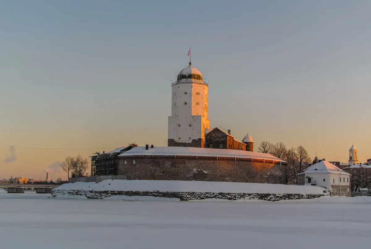
Photo: jarmoluk / Pixabay